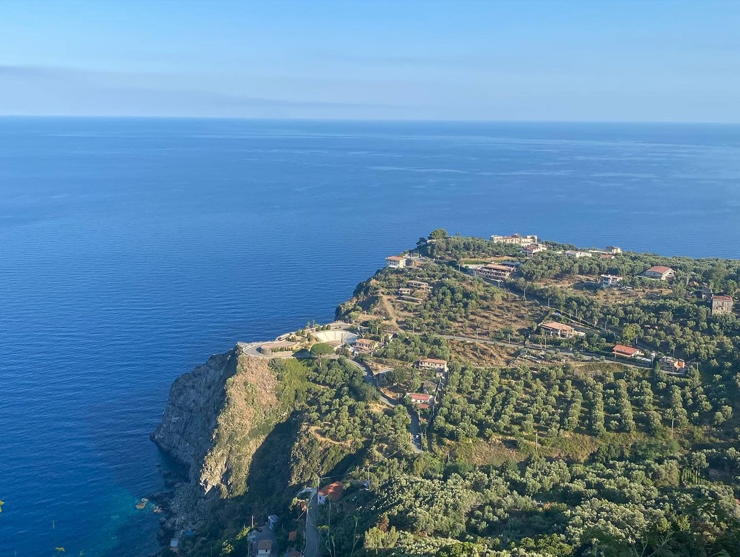
Calabria: A Journey to Barrittieri Between Nature, History, and Spirituality
Barrittieri on the Violet Coast, a hamlet of Seminara in Calabria, offers a unique experience combining lush nature, ancient history, and deep spirituality within the mystical triangle of Piani della Corona and Sant'Elia di Palmi.
Introduction: The Mystical Triangle of the Violet Coast
Barrittieri on the Violet Coast, a hamlet of Seminara in Calabria, offers a unique experience combining lush nature, fascinating history, and profound spirituality.
We stand within a mystical triangle on the Violet Coast, between the Piani della Corona, Sant'Elia di Palmi, and Barrittieri itself. This itinerary leads along scenic trails, archaeological sites, and religious monuments, revealing the beauty and richness of the territory.
The Piani della Corona on the Violet Coast, part of the mystical triangle with Sant'Elia di Palmi and Barrittieri.
1. Barrittieri: History, Spring Water, and Five Districts
Barrittieri is an area of Seminara named after an ecclesiastic: priest Antonello Barritteri, who ministered in Seminara between 1600 and 1640, as documented in marriage records of couples from San Opolo.
The area is rich in high-quality spring water serving the five districts of Barritteri, Paparone, Chiatti, Barracchia, and Gambarelli. In the Byzantine era, water sustained the earliest monastic settlements, and in the 17th century it was channeled between Bagnara and Palmi along the Tracciolino. The earliest traces date to the 10th century at Caforchi, where tuff caves and Byzantine Greek inscriptions attest to medieval monastic life.
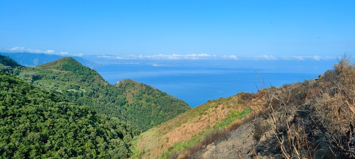
Panorama of the Strait of Messina and the Violet Coast seen from Barrittieri.
2. Paparone and the San Gennaro Spring
The toponym «Paparone» goes back to persecuted Byzantine monks practicing hesychia (ascetic solitude and peace), combining «papas» and «Aaron» into «Pap Arone», though an alternative theory links it to Roman times along the Via Annia Popilia.
Part of the lands of Ferrante II, Aragonese King of Naples (who ceded Sant'Anna di Seminara to Count Jacopo Carlo Spinelli in 1495), Paparone hosts the millennial San Gennaro Spring, surrounded by aqueduct remains, a three-language shrine, a presumed Byzantine cemetery, and ancient «Roman walls».
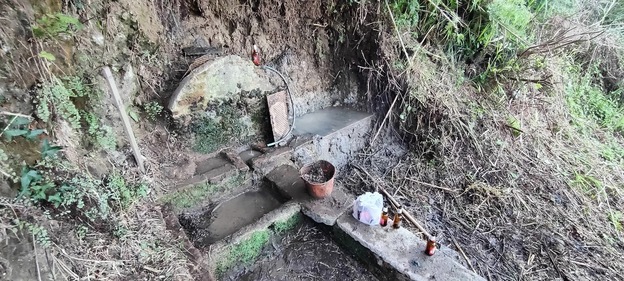
The millennial San Gennaro Spring in Barrittieri along a branch of the Via Annia Popilia.
The Church of San Gennaro and Paparone's Heritage
The oldest fortified settlement, Motta or Casale di San Popolo, is now uninhabited. Near Masseria Paparone stood the church dedicated to San Gennaro, demolished during highway construction, though the Saint's statue and altar steps were preserved.
A small lake called «laccu» was also restored by recovering the water conduit near the spring.
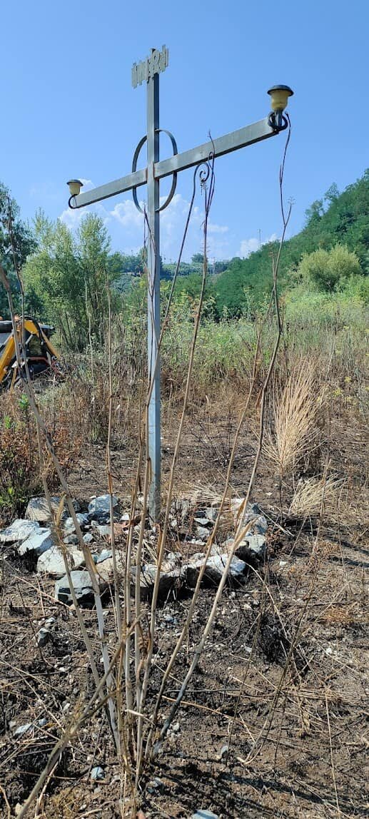
The Church of San Gennaro in the Paparone area of Barrittieri.
2.1 Valley of the Mills and the Rio Galena Mill
In the Valley of the Mills, near the old settlement of Paparone known as Case Vecchie, remain traces of water-powered mills and tripods.
The mills are of the Persian type, featuring a horizontal wooden wheel turned by the water jet to drive the coaxial granite millstone.
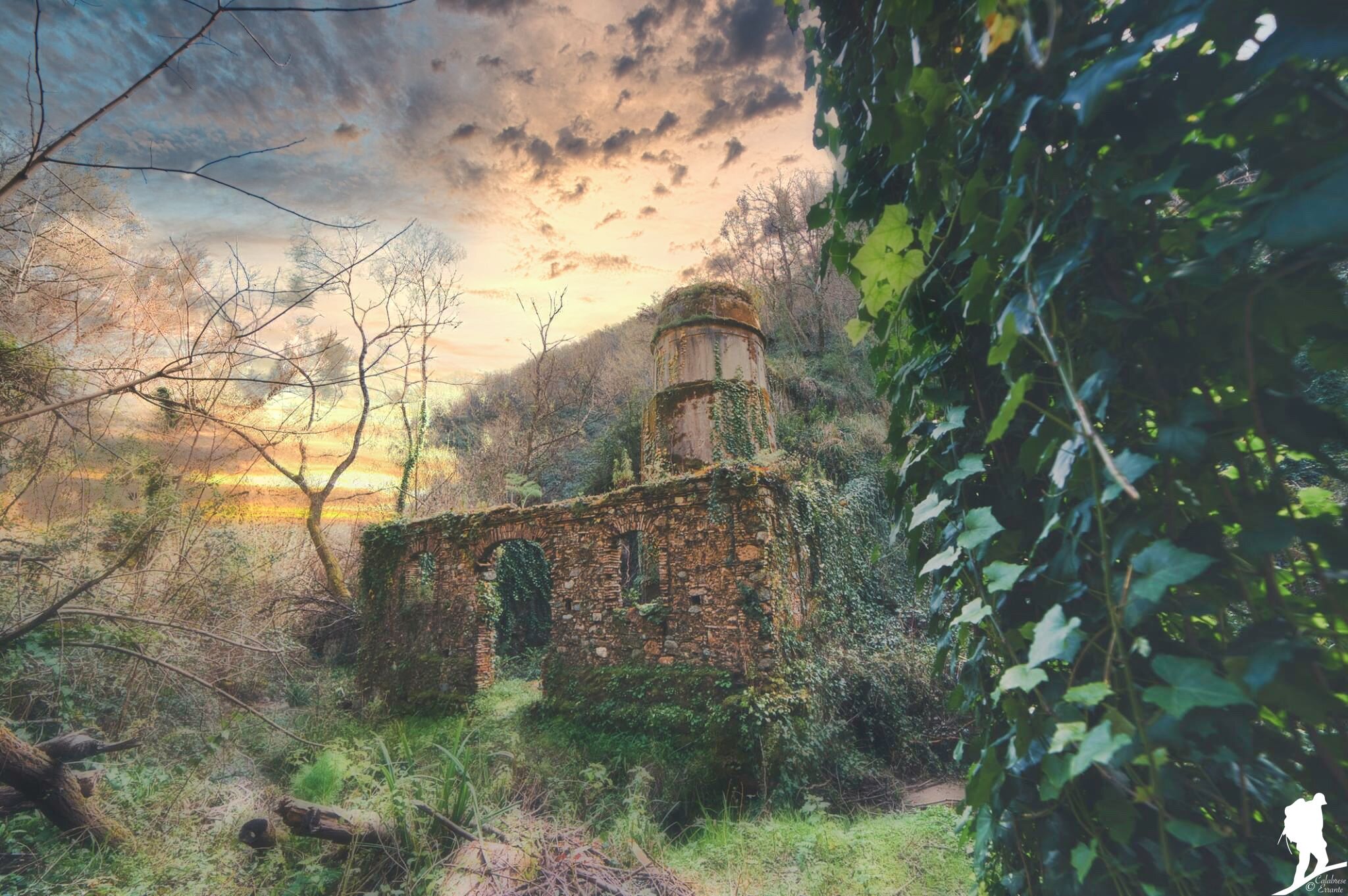
The Rio Galena Mill in the Valley of the Mills (Photo: Antonio Aricò).
The Rio Galena Waterfall
Along the Rio Galena stream, spring waters form scenic waterfalls amidst the lush vegetation of the Valley of the Mills, once powering the area's ancient stone mills.
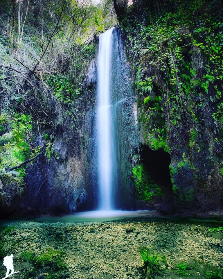
The Rio Galena waterfall in the Valley of the Mills, Barrittieri (Photo: Antonio Aricò).
The Barrittieri Pond («Laccu»)
Until 1960 a thriving community lived near the San Gennaro spring. The small pond locally called «laccu» was restored through the recovery of the historic water conduit.
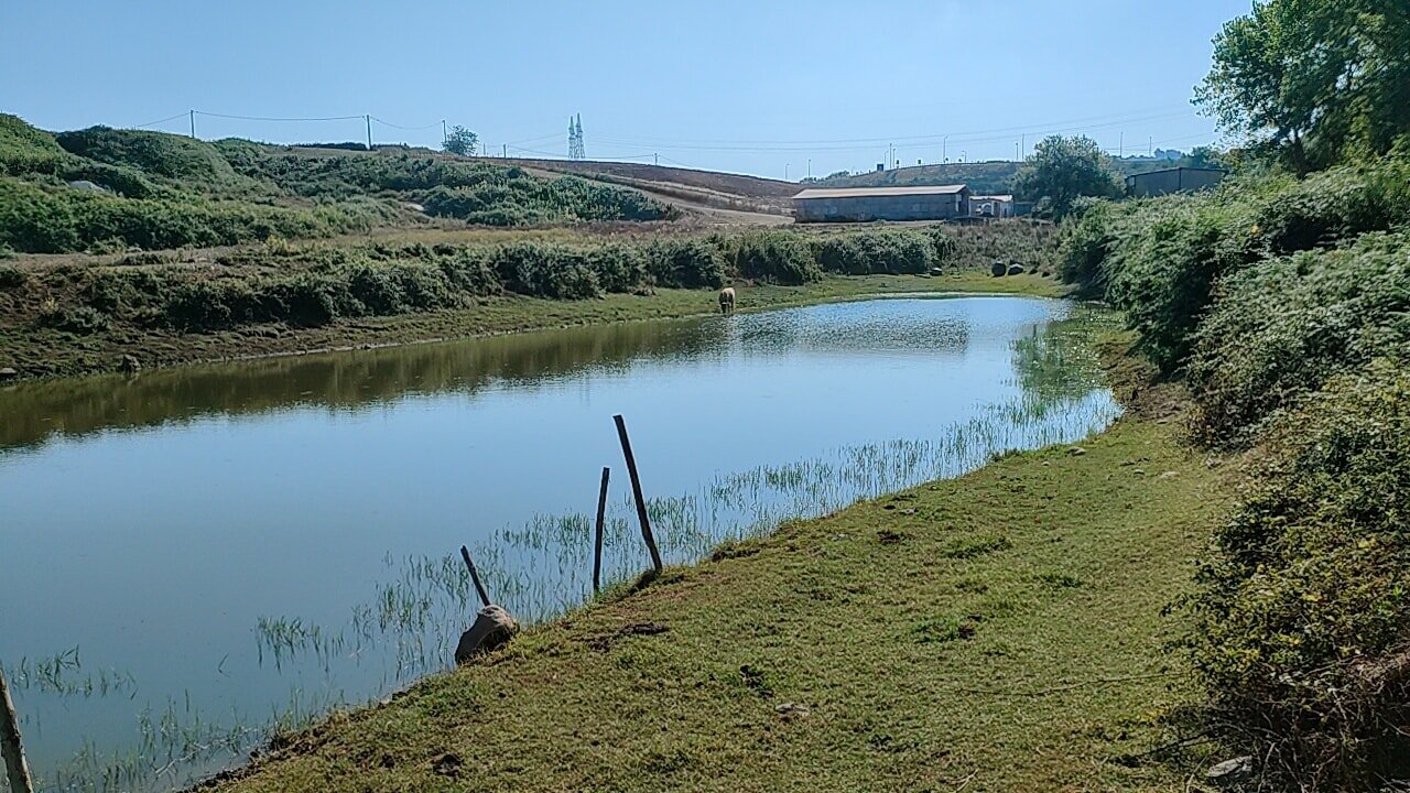
The pond («laccu») of Barrittieri, restored through the recovery of the water conduit.
The Ancient Gebbia Water Basin
Bearing witness to historic rural and monastic water engineering, Barrittieri preserves the Antica Gebbia, an ancient masonry basin used to store spring water for irrigating the surrounding terraces.
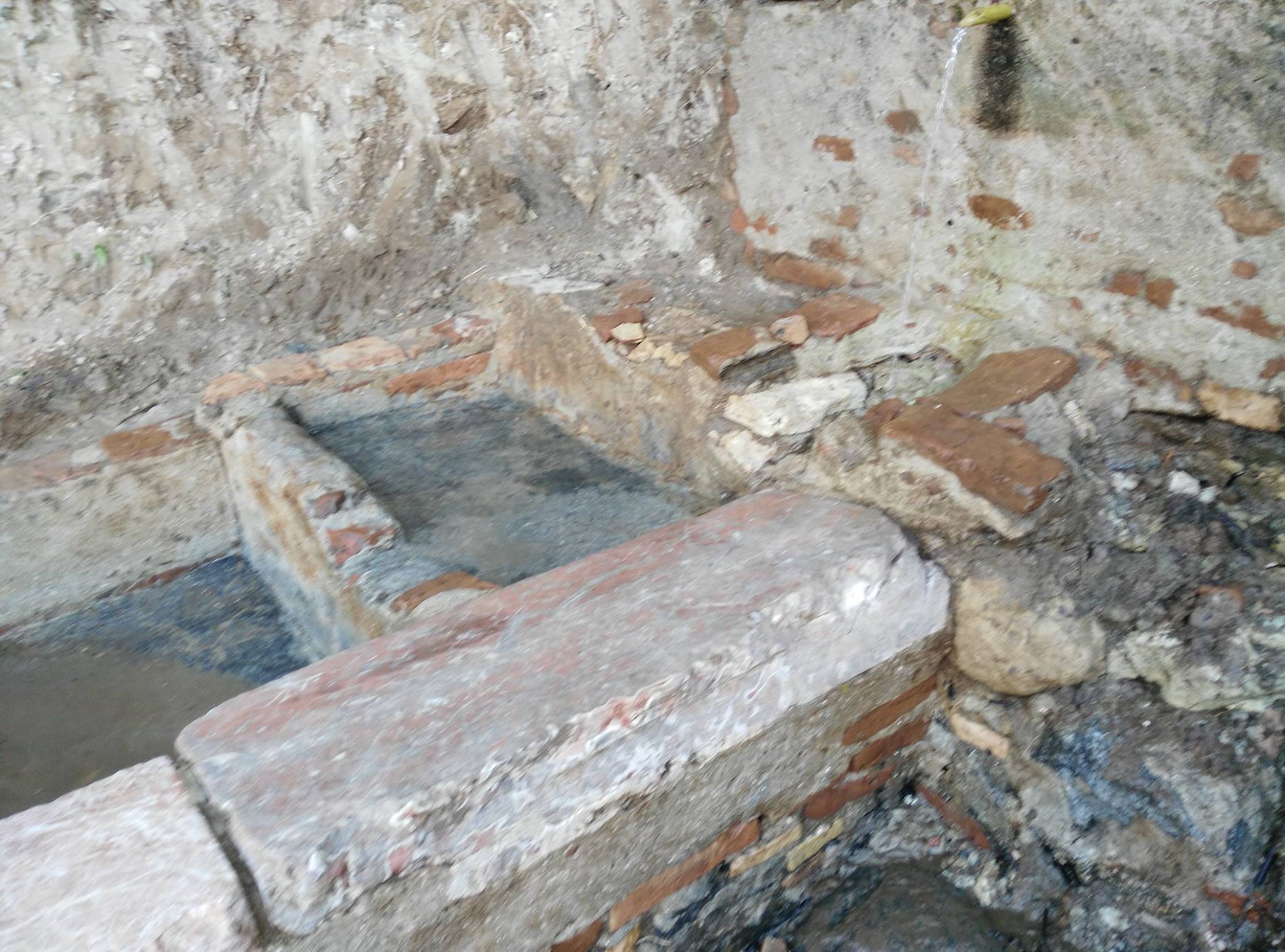
The Ancient Gebbia in Barrittieri, a historic spring-water storage basin.
2.3 Mammillary Rocks
Near the San Gennaro Spring, calcareous concretions known as mammillary rocks formed over millions of years from marine microorganisms and calcium.
Their presence points to deep natural caves, echoed in legends such as the cave of Saint Sebastian near Calajanculla beach, mentioned in the 4th-century Passio Sancti Sebastiani by Arnobius the Younger.
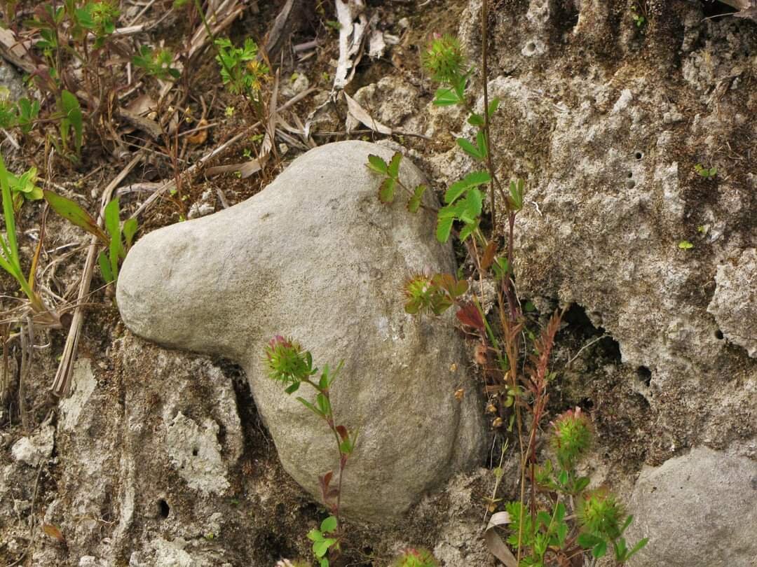
The mammillary rocks near the San Gennaro Spring in Barrittieri.
3. Caforchie: Rupestrian Site and Monastic Economy
«Caforchie» comes from Byzantine Greek «kata feos» («inside a den»). Between the Aspromonte plateaus and Mount Aulinas (Mount Sant'Elia), its tuff caves likely sheltered monks fleeing Arab raids to practice hesychia.
Abundant water sustained olive and vine cultivation, evidenced by ancient palmenti (now at the Museum of Rural Civilization), a watermill, and a large olive press along the route toward Umbria Olimpia and the Petrace river.
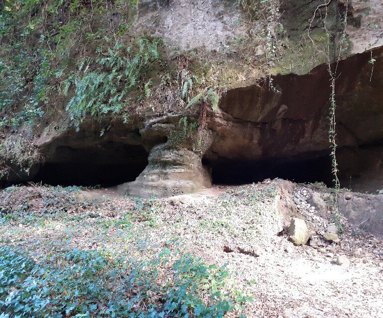
The rupestrian site of Caforchie in Barrittieri di Seminara, an ancient monastic refuge.
The Cave of Sant'Elia and Canyon Microclimate
The narrow canyon of Caforchie features an almost Amazonian humid microclimate with subtropical flora dating back nearly two million years to the Calabrian Pleistocene, imbued with a mystical atmosphere linking Barrittieri to Mount Sant'Elia.
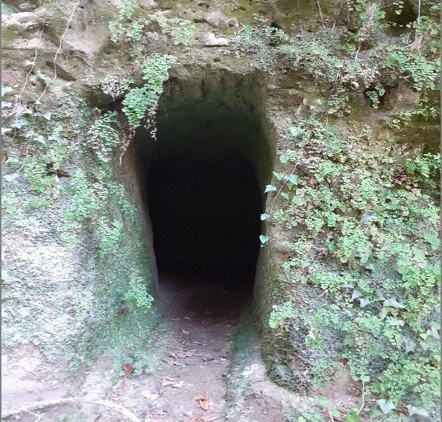
The Cave of Sant'Elia in the rupestrian area between Caforchie and Palmi.
Rock Carvings, Crosses, and Epigraphs at Caforchie
The tuff cave walls at Caforchie display mysterious carvings, Byzantine Greek letters, crosses, niches, seats, epigraphs, and possible burials, suggesting religious use extending up to the 18th century.
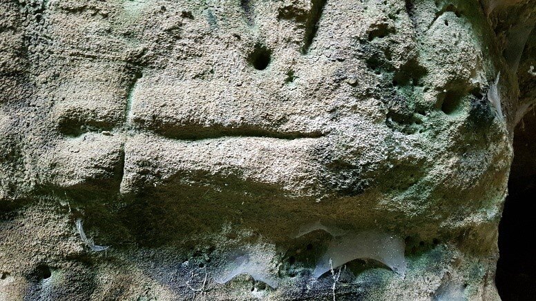
Rock carvings and crosses etched into the tuff walls at Caforchie.
4. The Tracciolino: 17th-Century Hydraulic Engineering
Built around 1600 over roughly 10 km along the Violet Coast between Bagnara, Seminara, and Palmi, the «Tracciolino» used glazed terracotta pipes crafted by Seminara's «pignatari» potters.
It also fed Palmi's Fontana della Palma commissioned by Marquis Andrea Concublet. Upgraded with 19th-century cast-iron pipes (likely from Mongiana) and early 20th-century iron conduits, the aqueduct suffered storm damage on August 9, 2016, becoming one of Italy's most spectacular slow-mobility trails.
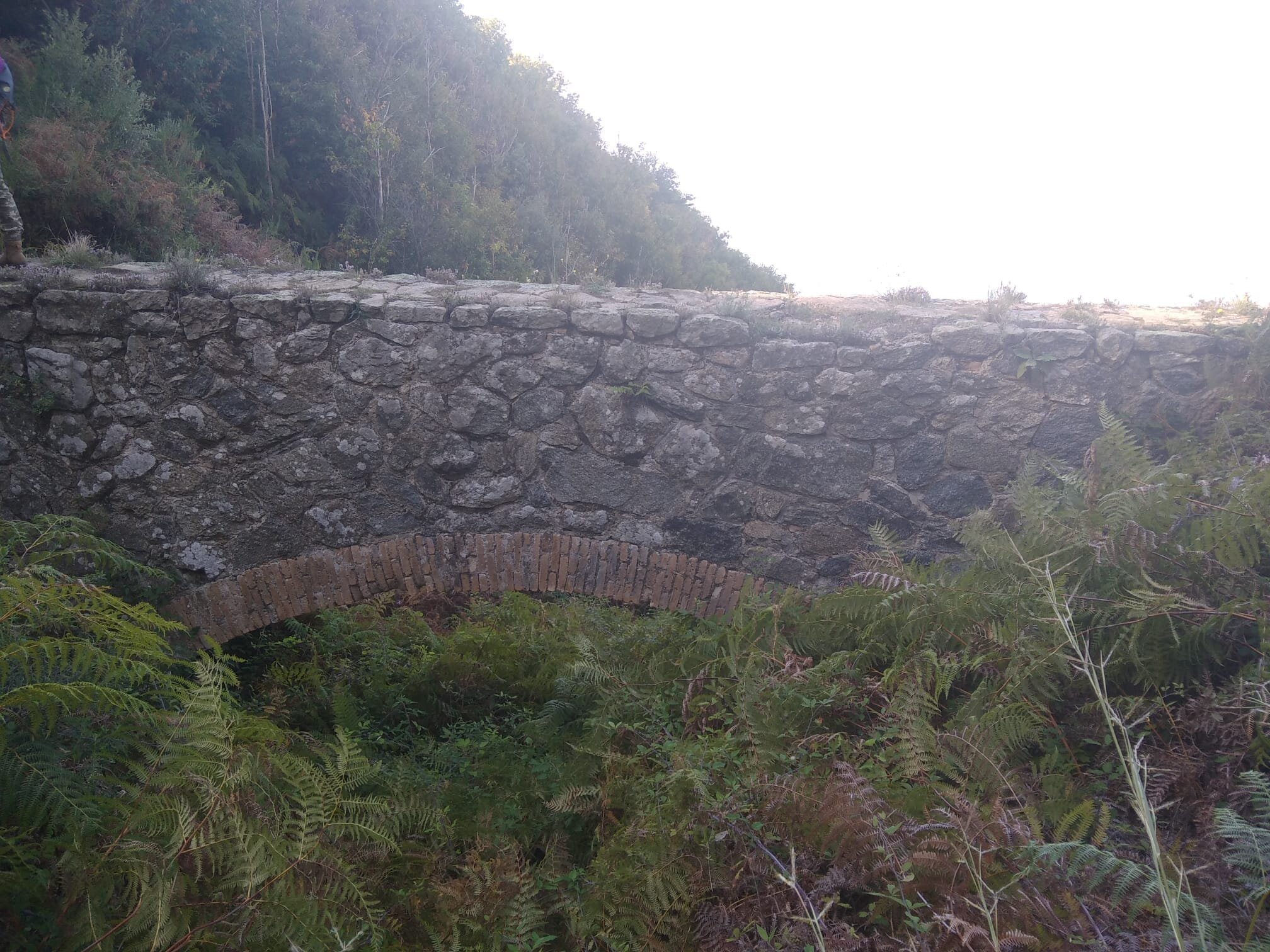
Stone bridge along the Tracciolino trail on the Violet Coast.
Cala Janculla and Cala Leone from the Tracciolino
Today the Tracciolino is a celebrated trekking route welcoming hikers from around the world, opening onto breathtaking views of unspoiled coves such as Cala Janculla and Cala Leone.
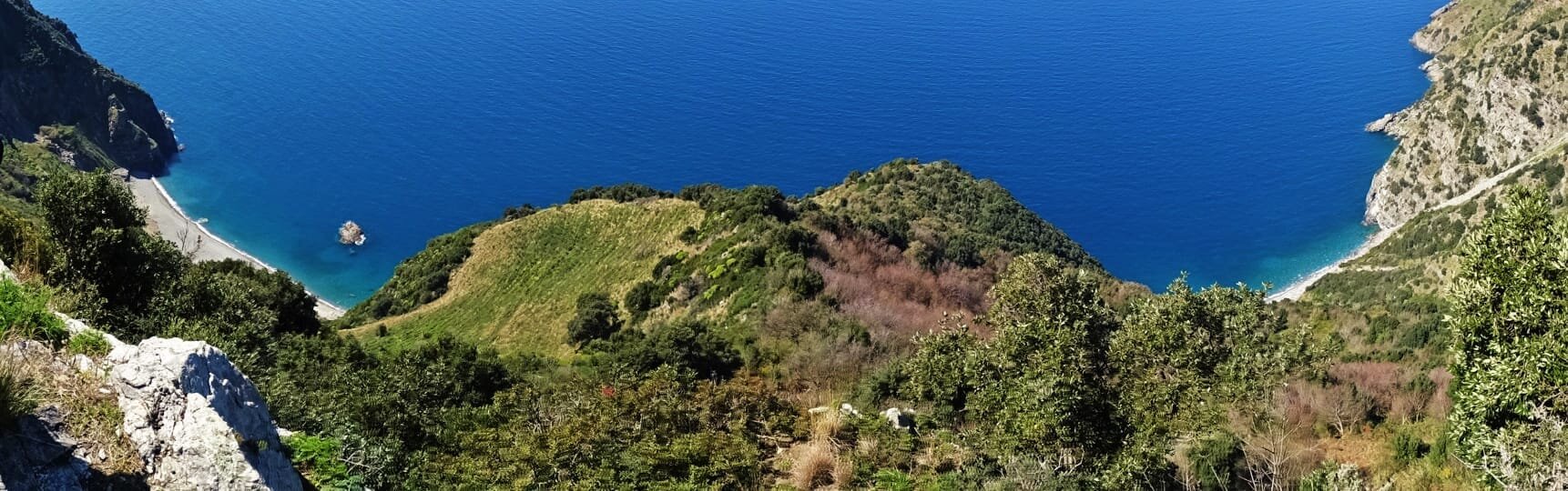
Panoramic view of Cala Janculla and Cala Leone beaches from the Tracciolino trail.
Fonte dell'Olmo and Acknowledgements
The Tracciolino begins at Fonte dell'Olmo at 450 meters above sea level, descending steadily toward Palmi.
Special thanks to Carmelo Arfuso of the Association «Barrittieri indietro tutta» (facebook.com/Barritteri) for providing the text and photographic material.
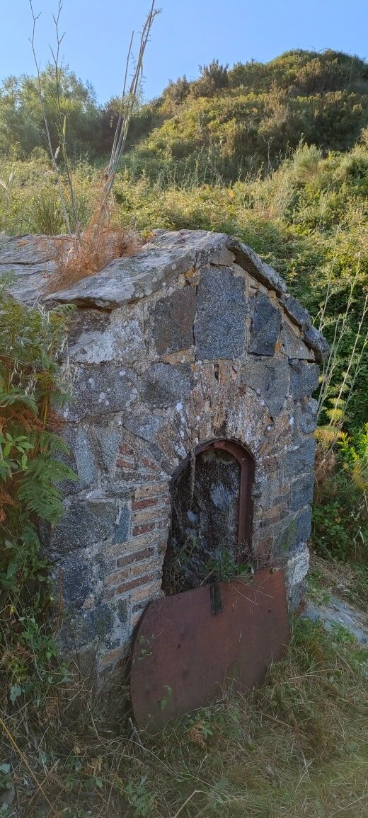
Fonte dell'Olmo (450 m a.s.l.), starting point of the Tracciolino trail.